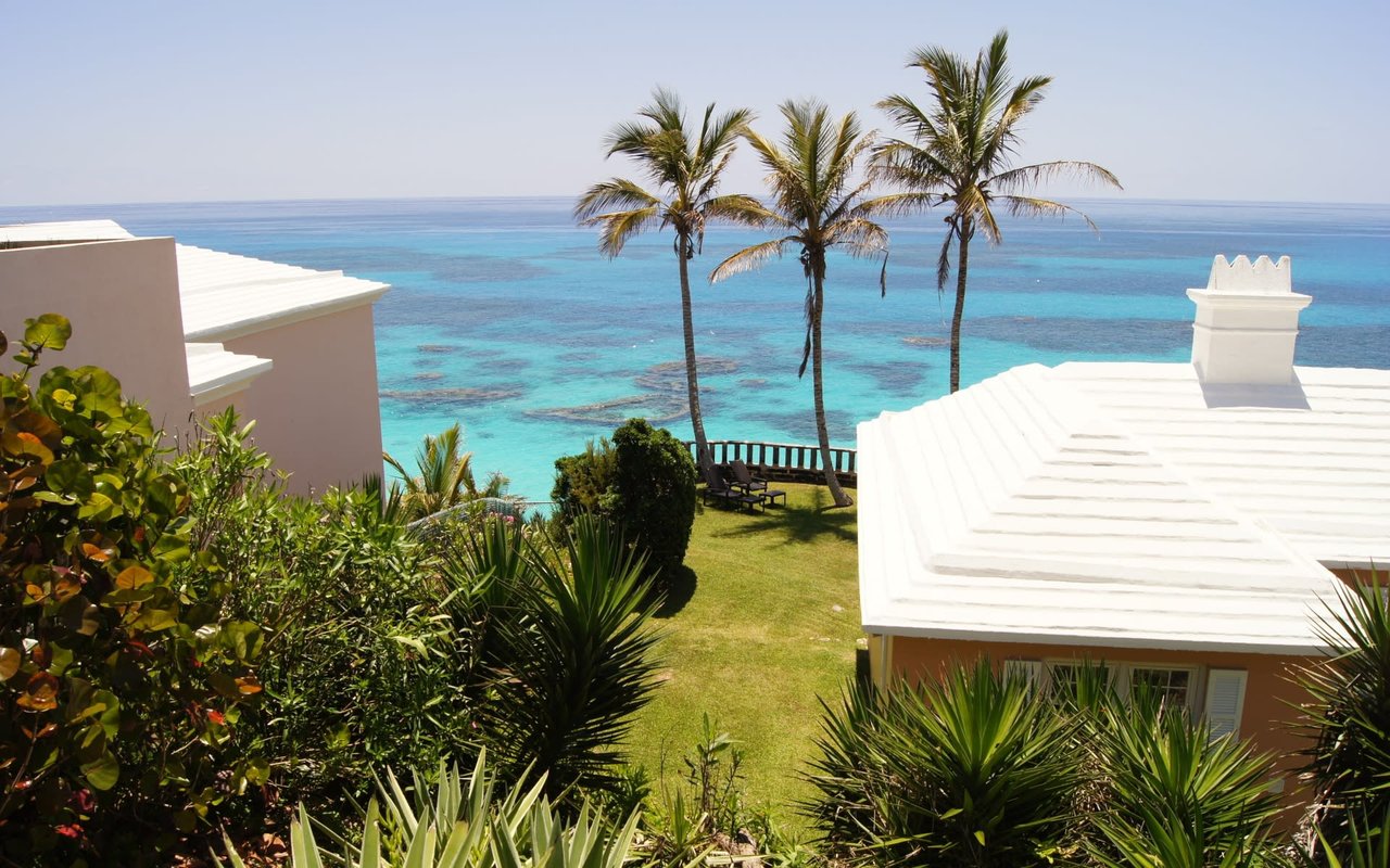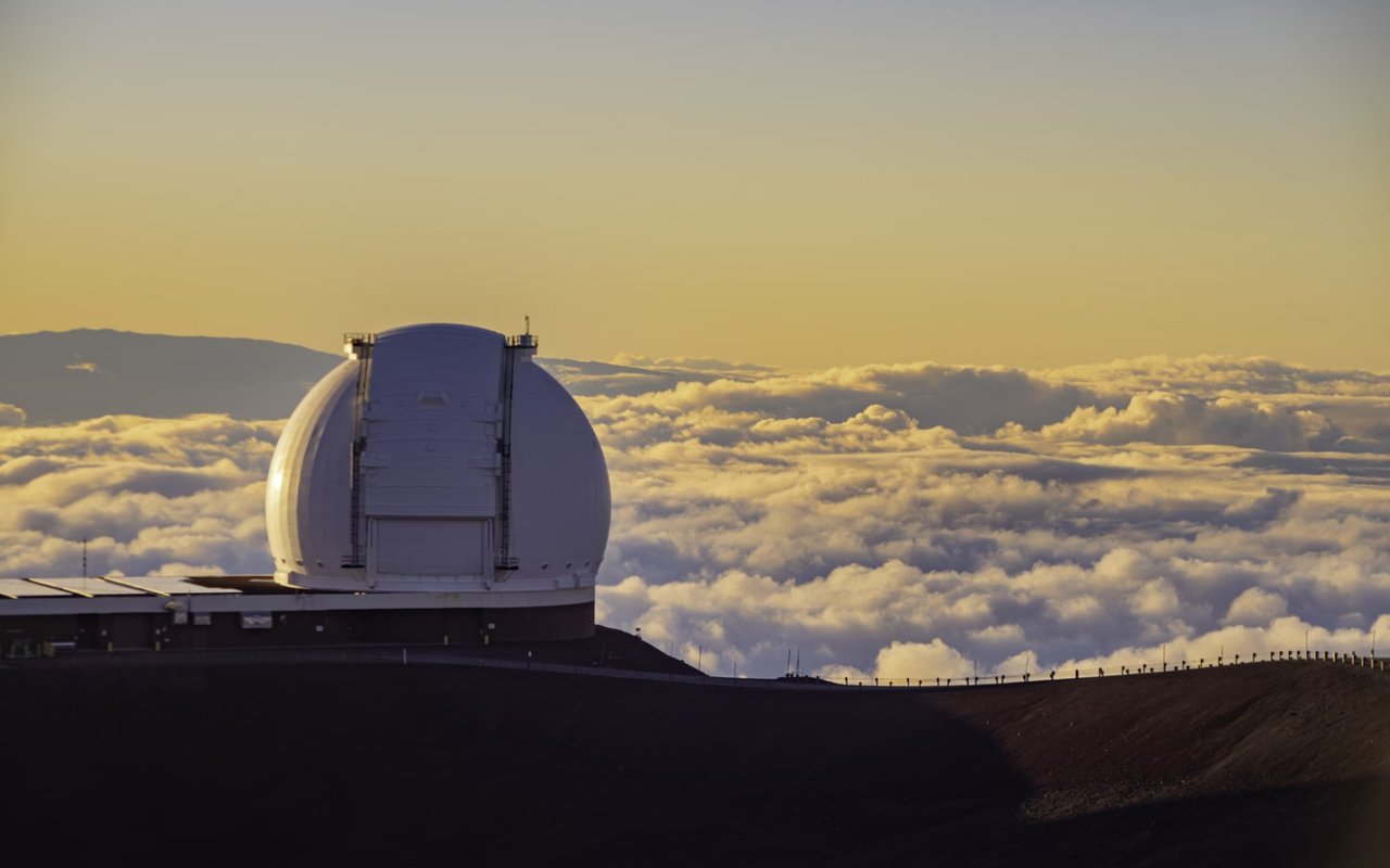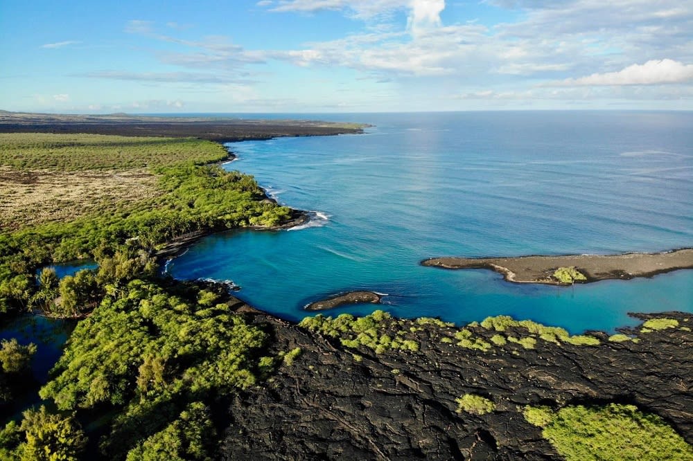
After 38 years of silence, Mauna Loa has finally erupted once again.
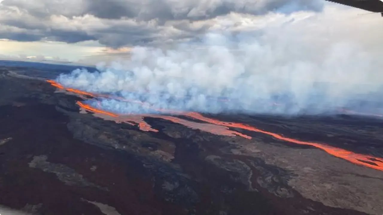
At 11:30 pm on 11/27, the eruption began in Mokuaweoweo (the summit caldera of the volcano) and has since migrated into the Northeast rift zone.
At this time, there is no threat to downslope communities. However, please stay updated by keeping an eye on the following government websites for clear and accurate information. Hawaii County has opened two shelters in Pahala and Kailua Kona as a precaution.
Please view the following two websites for updated information.
Hawaii Volcano National Park Service - https://www.nps.gov/havo/index.htm
USGS Volcano Updates - https://www.usgs.gov/volcanoes/mauna-loa/volcano-updates
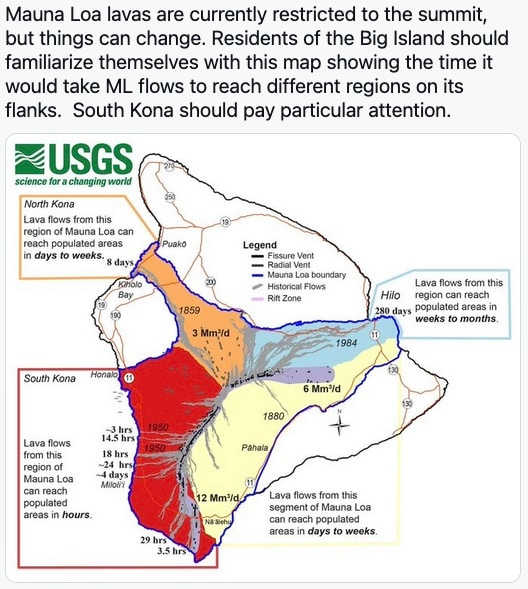
The state also released a map earlier this morning (11/28/2022) to give communities an idea of evacuation protocols and how long it would take the lava to reach certain areas.
**UPDATE**
"The eruption of Mauna Loa continues on the Northeast Rift Zone. Three fissures erupted, and as of 1:30 PM, only the lowest of the three fissures was active. Estimates of the tallest fountain heights are between 100–200 ft (30 – 60 m), but most are a few yards (meters) tall. The fissures sent lava flows to the northeast and parallel to the rift zone. Lava flows from the two higher fissures moved downslope but stalled about 11 miles (18 km) from Saddle Road. Fissure 3 is currently feeding lava flows moving east parallel to the Northeast Rift Zone. These remain at above 10,000 feet elevation and over 10 miles (16 km) away from Saddle Road. We do not expect upper fissures to reactivate. However, additional fissures could open along the Northeast Rift Zone below the current location, and lava flows can continue to travel downslope." - 11/28/2022 4:55 pm USGS